 CanadaIsland
Vancouver Island
32,134 km² rising to 2,195 m out of the Queen Charlotte Strait.
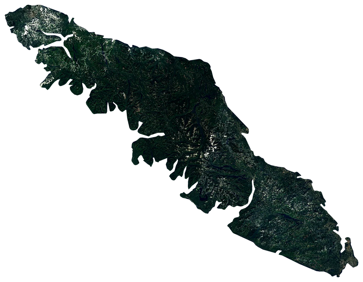
Satellite: Sentinel-2 cloudless 2016 by EOX (CC BY 4.0). Outline and points © OpenStreetMap contributors / Natural Earth. North up.
In numbers
32,134km²
Area
1,914km
Coastline
measured on a simplified outline
2,195m
Highest point
Golden Hinde
864,864
People
14°C
Warmest sea
August
17km
To the mainland
When to go to Vancouver Island
Best to visit from July to August.
The sea is warmest in August (14 °C) and coolest in February (8 °C). The water never reaches 21 °C: bring a wetsuit.
Averages 1991–2020. Sea: NOAA OISST, the water within 35 km of the coast. Air, rain and sun: NASA POWER. Best months weigh warm afternoons (23–30 °C), sea of 24 °C or more and few wet days.
Island of British Columbia, Canada
Vancouver Island is an island in Canada. It covers 32,134 km², with 1,914 km of coastline. Its highest point, Golden Hinde, rises to 2,195 m. About 864,864 people live on it. The nearest mainland is 17 km away.
Getting there
- Victoria International Airport (YYJ)main airport (7 on the island with scheduled flights)Car hire at YYJ airport (Victoria)Discover Cars · Affiliate link↗
- FerriesNewcastle Island Passenger Ferry, Gorge Waterway Route, Bamfield Water Taxi, Sidney Spit Ferry
- 17 km from the mainlanddistance to the nearest continental coast
- From July to Augustbest months to go (from 30 years of averages)
Plan the trip
Ferries, stays and things to do
Some links above are affiliate links: if you book through them we may earn a commission, at no extra cost to you. It never changes what the data on this page says.
On the island
What you find on Vancouver Island.
- 346beachesEquis Beach, Mabens Beach, Columbia Beach and 343 more
- 486viewpointsTzouhalem Cross, Wally Creek, Holmes Peak and 483 more
- 12lighthousesFisgard Lighthouse, Whiffin Spit Light, Carmanah Point Lighthouse and 9 more
- 35ferry terminalsDockside Green, Railyards, Selkirk Landing and 32 more
- 73marinasLake Cowichan Marina, Fisherman's Wharf, Quarterdeck Marina and 70 more
- 686named peaksRed Pillar, Mount Bolduc, Edinburgh Mountain and 683 more
- 277waterfallsSkutz Falls, Lower Banon Creek Falls, Christie Falls and 274 more
- 7castles and fortsLower Battery, Upper Battery, Belmont Battery and 4 more
- 36ruins and archaeological sitesAlldridge Point Petroglyphs, Newcastle Island Coal Mine Building Foundations, Lime Kiln and 33 more
- 9dive centresPacific Pro Dive and Marine Adventures, East 2 West Freediving, UB Diving and 6 more
- 10surf spotsWyo Point, Wya Point Surf Shop Cafe, Long Beach Surf Shop and 7 more
- 92waymarked walking routesGreen Trail, Blue Trail, North Side Trail and 89 more
- 358campsitesCedar Grove RV Park & Campground, Brittany Bay, French Beach Provincial Park Group Site and 355 more
- 314hotels, guesthouses and apartments
- 1,067restaurants, cafés and bars
Counted in OpenStreetMap, the map anyone can edit, inside the island's outline. A low number may only mean nobody has mapped it yet.
Cross-checked with our atlases
Vancouver Island in our other atlases
Everything Coastya, Peakyas, Lakeyas and Cascadyas know about what lies inside Vancouver Island, each with its own numbers.
 106beaches and covesCoastya
 422mountainsPeakyas
 398lakesLakeyas
 24waterfallsCascadyas
Highest point
2,195m
prominence 2,195 m · according to Peakyas
Tallest waterfall
43m
Niagara Falls
according to Cascadyas
Largest lake
67.7km²
Buttle Lake
according to Lakeyas
Warmest lake
25.7°C
Darkis Lake
surface water, warmest month · according to Lakeyas
Beach with the warmest sea
17.6°C
Sunset Beach
sea in the warmest month · according to Coastya
106 beaches
on Coastya, the beach atlas
- Island View Beach13.9°C
- Sombrio Beach12.1°C
- Long Beach13.7°C
- Willows Beach12.0°C
- China Beach11.9°C
- Constance Covecove12.0°C
- Lang Covecove12.0°C
- Poett Nookcove12.7°C
98 more on CoastyaOpen Coastya ↗
422 mountains
on Peakyas, the mountain atlas
- Golden Hindeprominence 2,195 m2,195m
- Elkhorn Mountainprominence 1,024 m2,194m
- Victoria Peakprominence 1,849 m2,163m
- Mount Colonel Fosterprominence 864 m2,135m
- Mount Albert Edwardprominence 1,203 m2,093m
- Rambler Peakprominence 647 m2,092m
- Mount McBrideprominence 918 m2,083m
- Kings Peakprominence 328 m2,065m
414 more on PeakyasOpen Peakyas ↗
398 lakes
on Lakeyas, the lake atlas
- Buttle Lake67.7km²
- Kennedy Lake65.3km²
- Cowichan Lake62.2km²
- Great Central Lake52.9km²
- Sproat Lake42.3km²
- Nimpkish Lake38.0km²
- Nitinat Lake27.0km²
- Comox Lake21.1km²
390 more on LakeyasLakeyas is coming soonOpen Lakeyas ↗
24 waterfalls
on Cascadyas, the waterfall atlas
- Niagara Falls43m
- Della Falls
- Englishman River Falls Provincial Park
- Myra Falls
- Skutz Falls
- Nymph Falls
- Ammonite Falls
- Nitinat Falls
16 more on CascadyasCascadyas is coming soonOpen Cascadyas ↗
The shape of the land.
On average the island stands 490 m above the sea. 28 % of it is below 200 m.
- 8 %0–50 m
- 20 %50–200 m
- 29 %200–500 m
- 33 %500–1,000 m
- 11 %1,000–2,000 m
Share of the island's area in each altitude band, from the Copernicus DEM (30 m, read at 30–240 m on large islands).
Size, for real
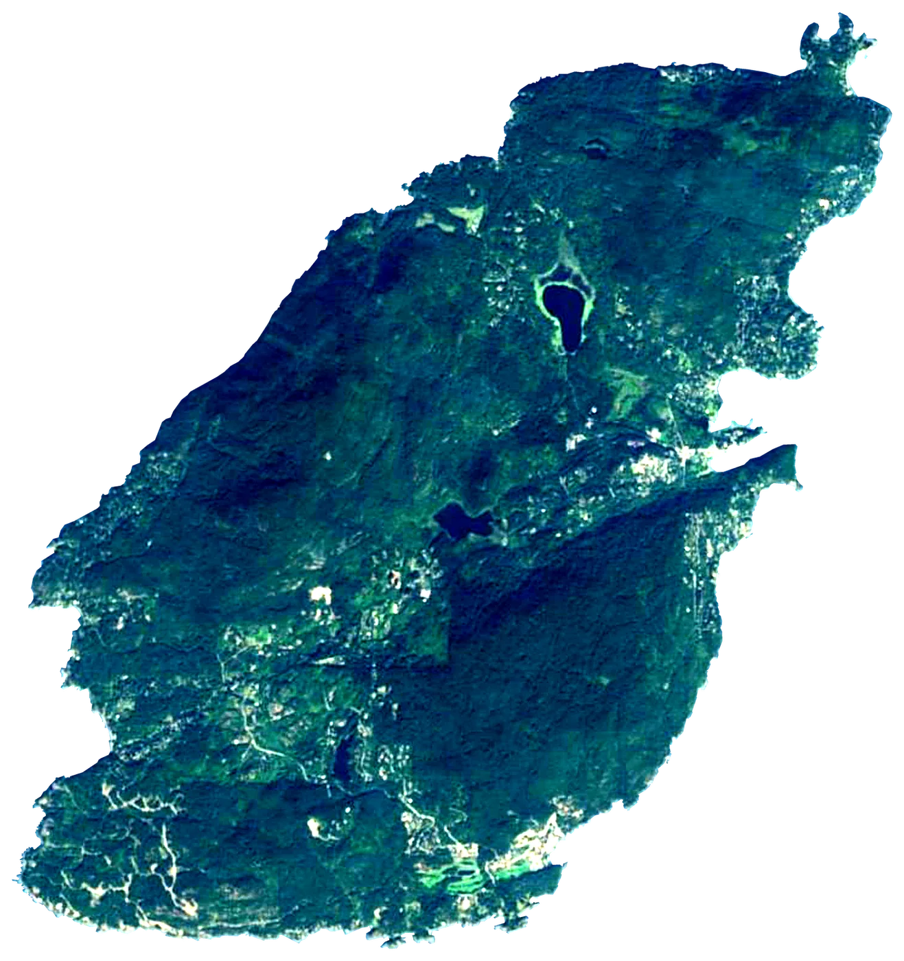
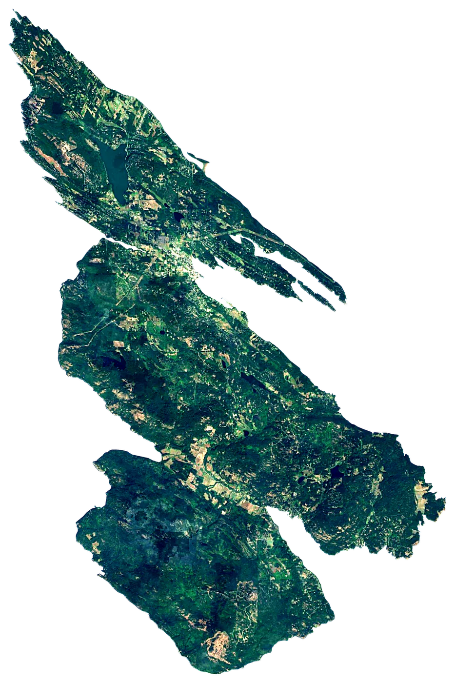
Next to islands you may know.
200 km
All outlines drawn to the same scale (Natural Earth and OpenStreetMap).
Towns on the island
- Victoria289,625 people
- Saanich117,735 people
- Nanaimo90,504 people
- Langford46,584 people
- Victoria-Downtown46,309 people
- Campbell River33,430 people
- North Cowichan29,676 people
- Courtenay28,420 people
- Duncan22,199 people
- Gordon Head21,270 people
- Port Alberni20,712 people
- Carey18,405 people
Month by month
The weather on the island.
| Jan | Feb | Mar | Apr | May | Jun | Jul | Aug | Sep | Oct | Nov | Dec | |
|---|---|---|---|---|---|---|---|---|---|---|---|---|
| Afternoon high (°C) | 2 | 3 | 4 | 8 | 13 | 16 | 20 | 20 | 16 | 10 | 5 | 2 |
| Night low (°C) | -2 | -3 | -2 | 0 | 4 | 7 | 9 | 10 | 7 | 3 | 0 | -3 |
| Sea (°C) | 8 | 8 | 8 | 9 | 11 | 12 | 14 | 14 | 13 | 11 | 10 | 9 |
| Rain (mm) | 297 | 157 | 210 | 142 | 83 | 75 | 53 | 58 | 109 | 206 | 308 | 273 |
| Wet days | 21 | 18 | 21 | 18 | 14 | 15 | 10 | 10 | 12 | 19 | 21 | 22 |
| Sun h/day | 1.2 | 3.3 | 3.6 | 5.5 | 7.3 | 7.7 | 9.7 | 8.7 | 6.4 | 3.5 | 1.6 | 0.9 |
| Wind (km/h) | 7 | 7 | 7 | 6 | 6 | 6 | 5 | 5 | 6 | 6 | 7 | 7 |
Averages 1991–2020 for the ~55 km NASA POWER cell over the island; the sea from NOAA OISST.
Recent years
Warmer and cooler years at sea.
Each month's sea temperature compared with its 1991–2020 average, in degrees.
| Jan | Feb | Mar | Apr | May | Jun | Jul | Aug | Sep | Oct | Nov | Dec | |
|---|---|---|---|---|---|---|---|---|---|---|---|---|
| 2020 | +0.2 | ±0.0 | −0.2 | +0.2 | +0.9 | +0.1 | +0.2 | +0.7 | +1.1 | +1.2 | ±0.0 | +0.2 |
| 2021 | +0.5 | −0.2 | −0.1 | −0.2 | −0.3 | +0.8 | +0.9 | +0.5 | −0.1 | ±0.0 | −0.2 | −0.2 |
| 2022 | −0.5 | −0.3 | ±0.0 | −0.7 | −0.8 | −0.7 | −0.1 | +0.4 | −0.1 | +0.1 | −1.0 | −0.7 |
| 2023 | ±0.0 | ±0.0 | −0.6 | −0.7 | +0.5 | −1.0 | −0.7 | −0.3 | −0.9 | +0.1 | +0.6 | +0.8 |
| 2024 | +0.8 | +0.8 | +0.7 | +0.5 | −0.4 | −1.0 | −0.8 | −0.3 | −0.7 | −0.8 | −0.2 | +0.4 |
| 2025 | +0.3 | −0.2 | +0.1 | +0.6 | −0.2 | −0.9 | −0.6 | −0.3 | ±0.0 | −0.5 | +0.2 | +0.6 |
+1 warmer than usual −1 cooler than usual
Photos
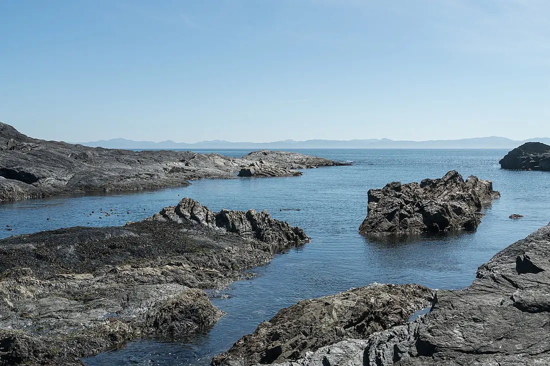
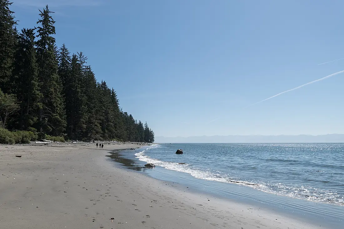
Seen by visitors.
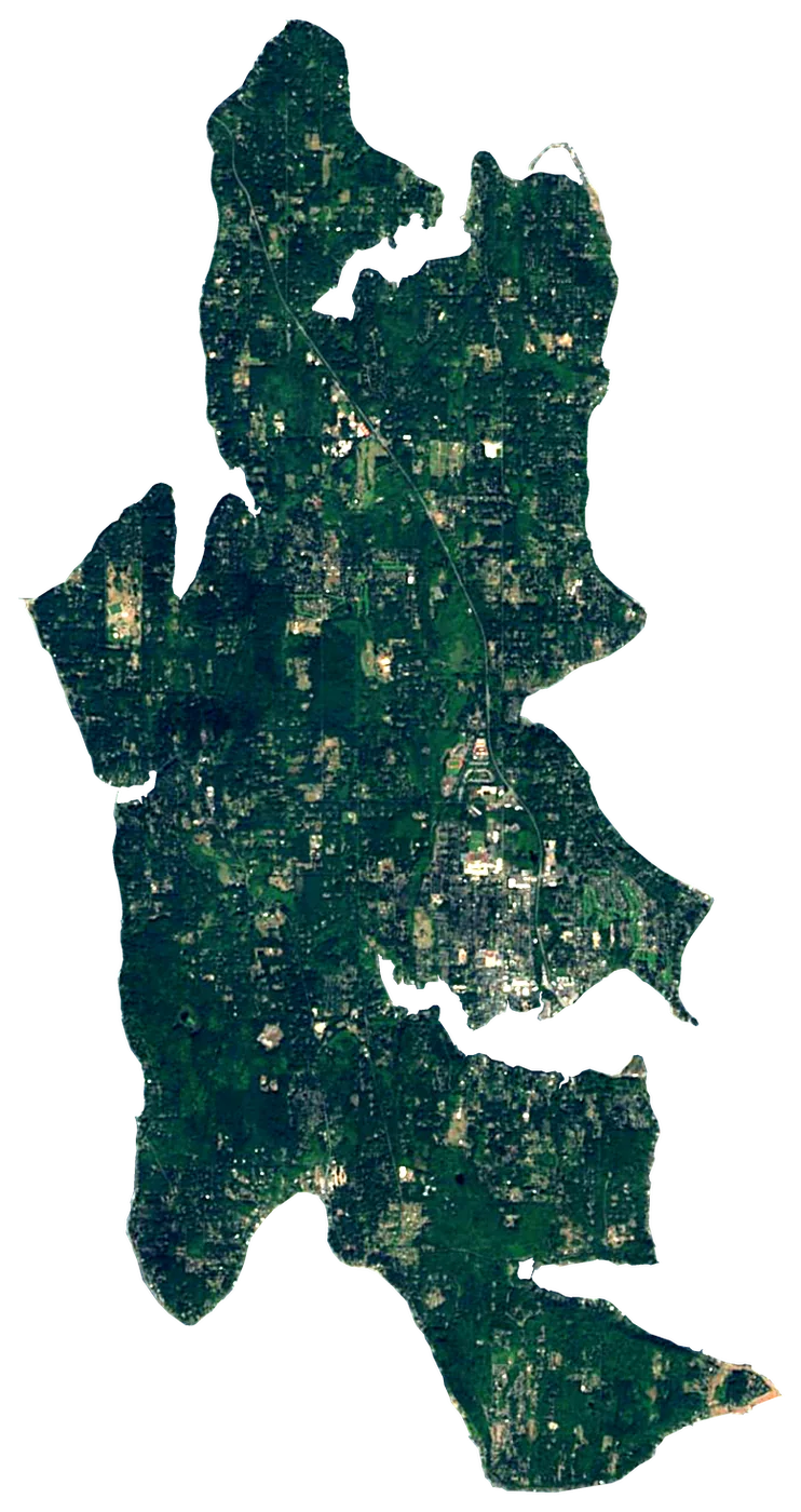
 United States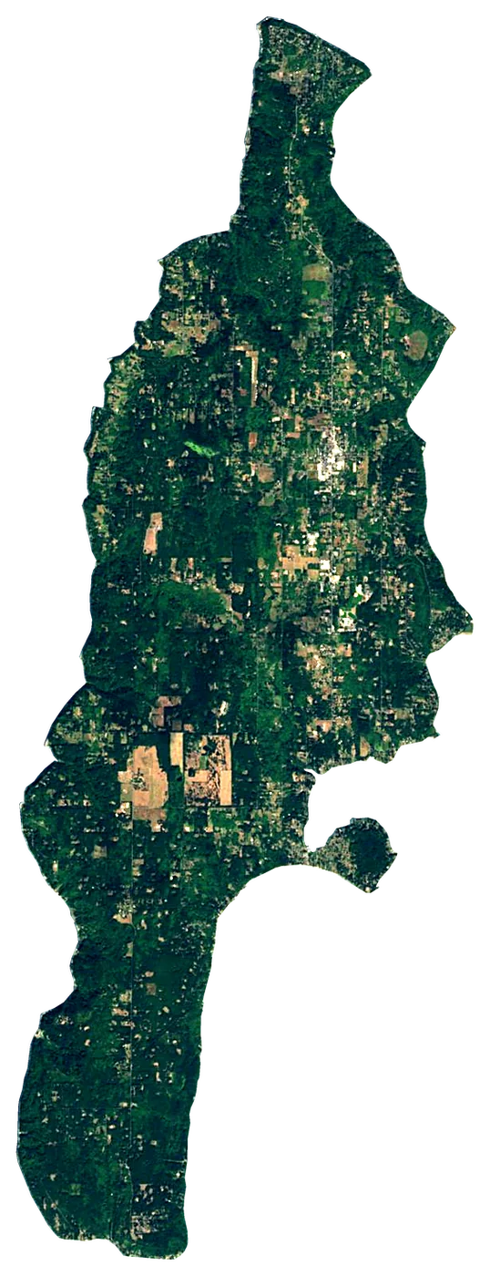
About these numbers
| Names, area, population | Wikidata (Q170479) · CC0 |
|---|---|
| Outline | Natural Earth · public domain |
| Sea temperature | NOAA OISST v2.1 · 1991–2020 |
| Climate | NASA POWER · 1991–2020 |
| Relief, 3D model | Copernicus DEM GLO-30 · © DLR e.V., © Airbus Defence and Space GmbH, Copernicus/ESA |
| Beaches, ports, lighthouses, trails | © OpenStreetMap contributors · ODbL |
| Towns | GeoNames · CC BY 4.0 |
| Images | EOX Sentinel-2 cloudless 2016 · CC BY 4.0; Wikimedia Commons |
| Beaches, mountains, lakes and waterfalls | Coastya, Peakyas, Lakeyas, Cascadyas — Wikidata · CC0; © OpenStreetMap contributors · ODbL; GeoNames · CC BY 4.0; NOAA OISST; HydroLAKES (Messager et al. 2016) · CC BY 4.0, LakeTEMP (Korver et al. 2024) · CC BY 4.0 |
Every figure is an average, an estimate or a count from a public dataset. Licences and methods: data sources.
The family
Do you prefer beaches, lakes, mountains, waterfalls, islands, rivers or canyons?
Same idea, other landscapes: field atlases built on open data, month by month, in seven languages.
beaches Find your beach: sea temperature, sun and swimming month by month.Visit lakes
 Every lake on Earth: water temperature, ice, depth and the shore.Coming soonVisit mountains
 Every summit in 3D: summit weather, the 0 °C line, huts and trails.Visit waterfalls
 Every waterfall: height, flow month by month and when it roars.Coming soonVisit
  islands
 Every island from the sea up: size, sea temperature, ferries and 3D.You are here
 rivers
 Every river from source to sea: the journey, the flow and the basin in numbers.Visit
  canyons
 Every canyon cut to scale: depth to the floor, rim and floor temperatures, trails and viewpoints.Visit