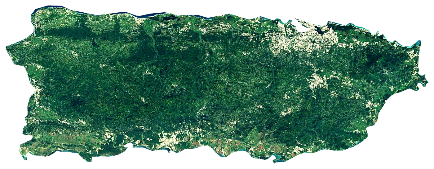
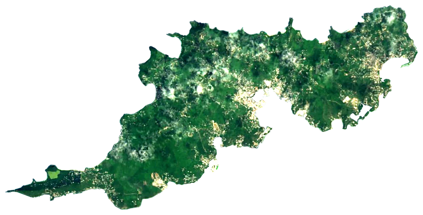
Satellite: Sentinel-2 cloudless 2016 by EOX (CC BY 4.0). Outline and points © OpenStreetMap contributors / Natural Earth. North up.
In numbers
9,100km²
Area
524km
Coastline
measured on a simplified outline
1,338m
Highest point
Cerro de Punta
3,180,000
People
29°C
Warmest sea
September
696km
To the mainland
When to go to Puerto Rico
Best for the beach from January to May.
The sea is warmest in September (29 °C) and coolest in February (26 °C). You can swim comfortably all year (21 °C or more).
Averages 1991–2020. Sea: NOAA OISST, the water within 35 km of the coast. Air, rain and sun: NASA POWER. Best months weigh warm afternoons (23–30 °C), sea of 24 °C or more and few wet days.
Main island in the US unincorporated territory of the same name
Puerto Rico is an island in Puerto Rico. It belongs to Caribbean. It covers 9,100 km², with 524 km of coastline. Its highest point, Cerro de Punta, rises to 1,338 m. About 3,180,000 people live on it. The nearest mainland is 696 km away.
Getting there
- Luis Munoz Marin International Airport (SJU)main airport (6 on the island with scheduled flights)Car hire at SJU airport (San Juan)Discover Cars · Affiliate link↗
- FerriesCeiba - Vieques, Ceiba - Culebra, San Juan - Cataño, San Juan - Hato Rey
- 696 km from the mainlanddistance to the nearest continental coast
- From January to Maybest months to go (from 30 years of averages)
Plan the trip
Ferries, stays and things to do
Some links above are affiliate links: if you book through them we may earn a commission, at no extra cost to you. It never changes what the data on this page says.
On the island
What you find on Puerto Rico.
- 159beachesPlaya de las Tres Palmitas, Playa de Jauca, Playa El Tuque and 156 more
- 65viewpointsTorre de Los Picachos, El Morrillo, Guajataca Forest Observation Tower and 62 more
- 5lighthousesPunta Higüero Lighthouse, Guanica Lighthouse, Arecibo Lighthouse and 2 more
- 8ferry terminalsVieques / Culebra Ferry Service, Acuaexpreso Hato Rey, Terminal de Lanchas de Fajardo Ángel "Tito" Olmedo Rivera and 5 more
- 14marinasMarina De Salinas, Palmas del Mar Marina, Club Náutico de San Juan and 11 more
- 286named peaksCerro de Punta, Cerro El Bolo, Cerro Doña Juana and 283 more
- 43waterfallsSalto Curet Waterfall, La Canoa Waterfall, La Coca Waterfall and 40 more
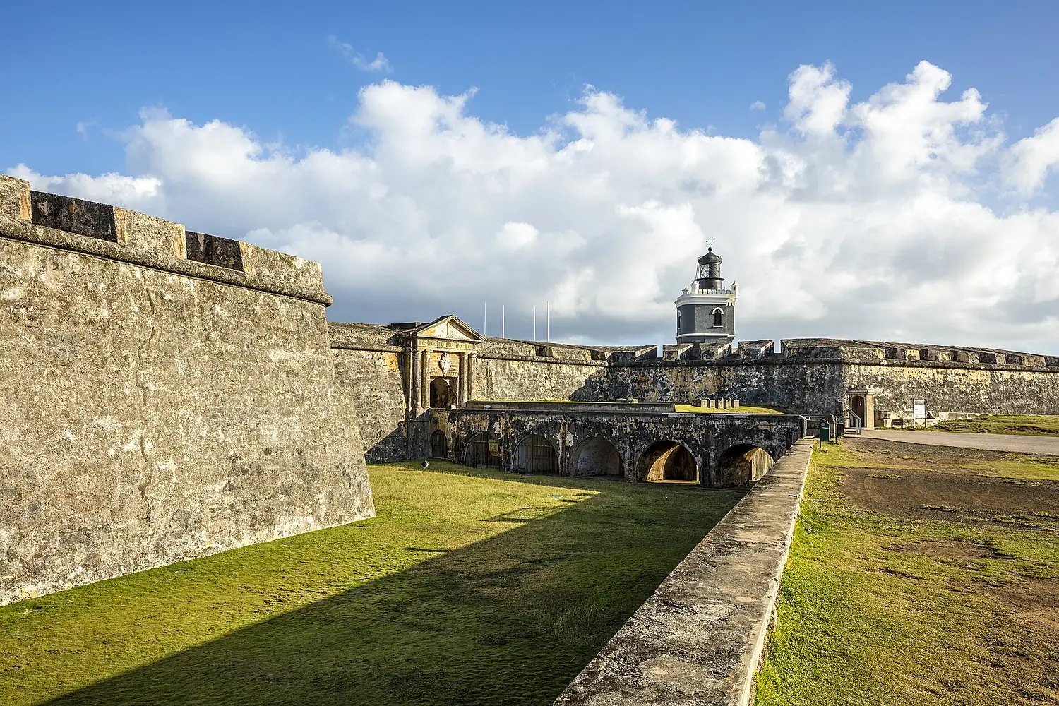
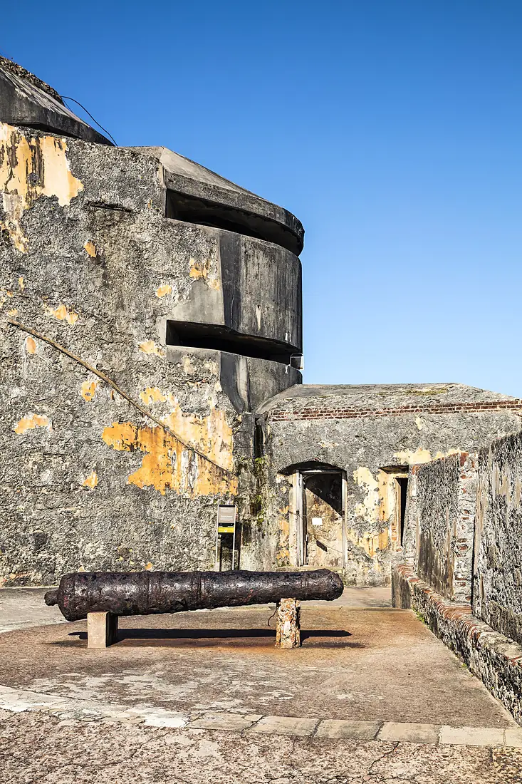
- 15castles and fortsCastillo San Cristóbal, Fortín San Juan de la Cruz, Fortín de San Gerónimo and 12 more
- 251ruins and archaeological sitesAntiguo Oso Blanco, Cullingford Field, Guajataca Tunnel and 248 more
- 6dive centresTaino Divers, Scuba Dogs, Rincon Diving and Snorkeling and 3 more
- 4surf spotsKokomo, Kamea Meha, The Room and 1 more
- 61waymarked walking routesCascada El Ancón, Angelito Trail, Seven Seas to Playa Colorá and Playa Escondida and 58 more
- 34campsitesGuajataka Scout Reservation, Los Viveros, Seven Seas and 31 more
- 303hotels, guesthouses and apartments
- 2,377restaurants, cafés and bars
Counted in OpenStreetMap, the map anyone can edit, inside the island's outline. A low number may only mean nobody has mapped it yet.
Cross-checked with our atlases
Puerto Rico in our other atlases
Everything Coastya, Peakyas, Lakeyas and Cascadyas know about what lies inside Puerto Rico, each with its own numbers.
 64beaches and covesCoastya
 261mountainsPeakyas
 19lakesLakeyas
Highest point
1,338m
prominence 1,338 m · according to Peakyas
Largest lake
4.8km²
Laguna San José
according to Lakeyas
Warmest lake
29.8°C
Joyuda Lagoon
surface water, warmest month · according to Lakeyas
Beach with the warmest sea
29.2°C
sea in the warmest month · according to Coastya
64 beaches
on Coastya, the beach atlas
- Balneario El Tuque29.1°C
- Playa Corcega29.1°C
- Playa La Puente29.2°C
- Ocean Park Beach28.9°C
- Playa del Dorado28.9°C
- Playa de Sardinera28.9°C
- Playa de los Tocones28.9°C
- Playa Puerto Real28.9°C
56 more on CoastyaOpen Coastya ↗
261 mountains
on Peakyas, the mountain atlas
- Cerro de Puntaprominence 1,338 m1,338m
- Monte Jayuya1,315m
- Cerro Rosaprominence 1,267 m1,267m
- Tres Picachos1,205m
- Cerro Maravilla1,205m
- Monte Guilarte1,204m
- Pico El Yunque1,080m
- Cerro El Boloprominence 1,075 m1,075m
253 more on PeakyasOpen Peakyas ↗
19 lakes
on Lakeyas, the lake atlas
- Guajataca Lake2.6km²
- Lago Toa Vaca2.1km²
- Lago Caonillas1.9km²
- Joyuda Lagoon1.3km²
- Tortuguero Lagoon1.3km²
- Lago Dos Bocas1.2km²
- Lake Cerrillos1.1km²
- La Plata Lake0.99km²
11 more on LakeyasLakeyas is coming soonOpen Lakeyas ↗
The shape of the land.
On average the island stands 239 m above the sea. 55 % of it is below 200 m.
- 24 %0–50 m
- 31 %50–200 m
- 30 %200–500 m
- 15 %500–1,000 m
- <1 %1,000–2,000 m
Share of the island's area in each altitude band, from the Copernicus DEM (30 m, read at 30–240 m on large islands).
Size, for real
Next to islands you may know.
100 km
All outlines drawn to the same scale (Natural Earth and OpenStreetMap).
Towns on the island
- San Juan418,140 people
- Bayamón203,499 people
- Carolina170,404 people
- Ponce137,491 people
- Arecibo87,754 people
- Caguas86,804 people
- Guaynabo81,360 people
- Trujillo Alto75,243 people
- Mayagüez73,077 people
- Fajardo32,124 people
- Levittown29,785 people
- Vega Baja29,325 people
Month by month
The weather on the island.
| Jan | Feb | Mar | Apr | May | Jun | Jul | Aug | Sep | Oct | Nov | Dec | |
|---|---|---|---|---|---|---|---|---|---|---|---|---|
| Afternoon high (°C) | 26 | 27 | 28 | 28 | 28 | 29 | 29 | 29 | 29 | 28 | 28 | 27 |
| Night low (°C) | 21 | 21 | 21 | 22 | 23 | 24 | 24 | 25 | 25 | 24 | 23 | 22 |
| Sea (°C) | 27 | 26 | 26 | 27 | 28 | 28 | 28 | 29 | 29 | 29 | 28 | 28 |
| Rain (mm) | 64 | 43 | 52 | 89 | 107 | 83 | 103 | 120 | 120 | 118 | 145 | 79 |
| Wet days | 15 | 11 | 11 | 14 | 17 | 16 | 18 | 20 | 22 | 21 | 20 | 16 |
| Sun h/day | 6.8 | 7.4 | 7.4 | 7.8 | 7.1 | 7.6 | 7.6 | 7.5 | 7.2 | 6.8 | 6.4 | 6.6 |
| Wind (km/h) | 17 | 18 | 17 | 16 | 17 | 17 | 19 | 17 | 14 | 14 | 15 | 17 |
Averages 1991–2020 for the ~55 km NASA POWER cell over the island; the sea from NOAA OISST.
Recent years
Warmer and cooler years at sea.
Each month's sea temperature compared with its 1991–2020 average, in degrees.
| Jan | Feb | Mar | Apr | May | Jun | Jul | Aug | Sep | Oct | Nov | Dec | |
|---|---|---|---|---|---|---|---|---|---|---|---|---|
| 2020 | +0.7 | +0.8 | +0.6 | +0.8 | +0.8 | +0.7 | +0.9 | +0.6 | +0.8 | +0.3 | +0.1 | +0.3 |
| 2021 | +0.4 | +0.4 | +0.2 | +0.1 | +0.1 | ±0.0 | +0.1 | +0.1 | +0.6 | +0.5 | +0.5 | +0.5 |
| 2022 | +0.5 | +0.4 | +0.4 | ±0.0 | +0.1 | +0.2 | +0.2 | +0.3 | +0.3 | +0.1 | −0.2 | −0.2 |
| 2023 | +0.2 | ±0.0 | +0.1 | +0.3 | +0.9 | +0.9 | +0.9 | +0.9 | +1.1 | +1.2 | +0.7 | +0.5 |
| 2024 | +0.7 | +0.7 | +1.0 | +1.0 | +1.6 | +1.6 | +1.3 | +1.1 | +1.2 | +1.5 | +1.1 | +1.2 |
| 2025 | +1.0 | +0.9 | +1.1 | +0.7 | +0.6 | +0.1 | +0.4 | +0.7 | +0.8 | +0.7 | +0.5 | +0.6 |
+1 warmer than usual −1 cooler than usual
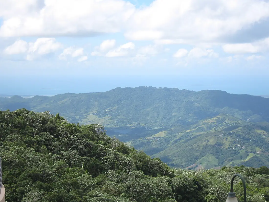
Photos
Seen by visitors.
Nearby
More islands nearby.
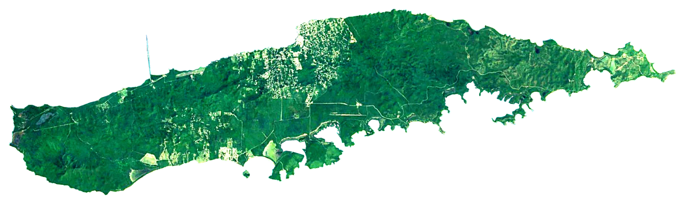 Vieques
 Puerto Rico133 km²37 m103 km away
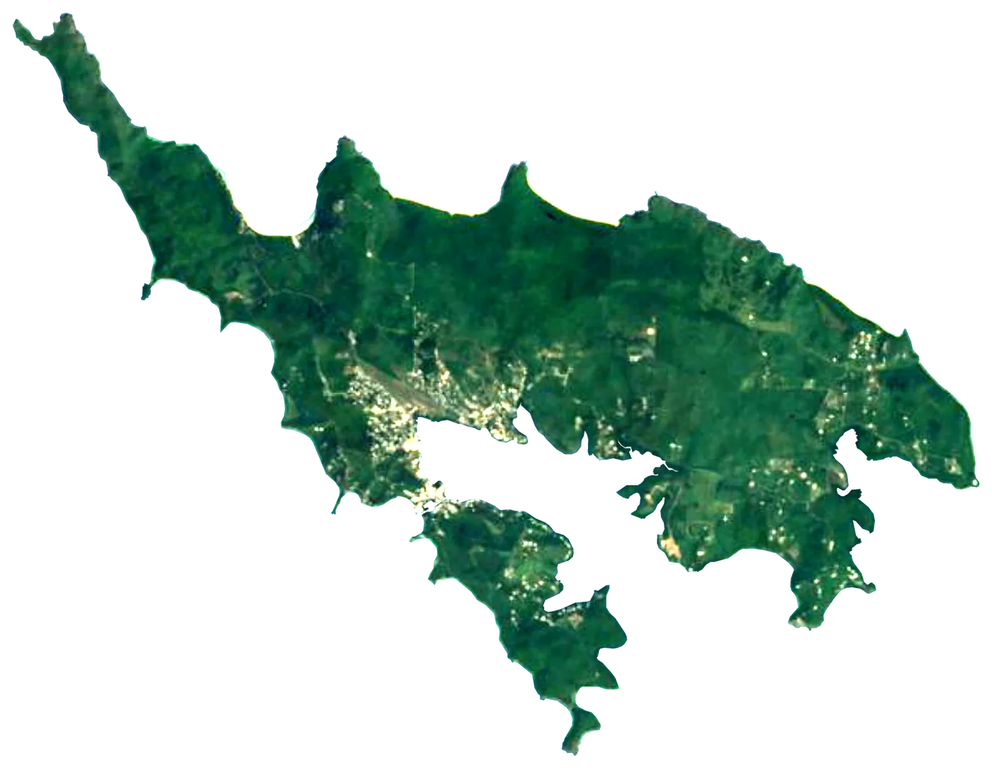 Culebra
 United States27 km²3 m119 km away
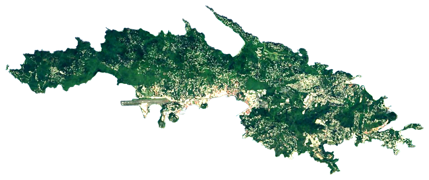 Saint ThomasUnited States72 km²473 m157 km away
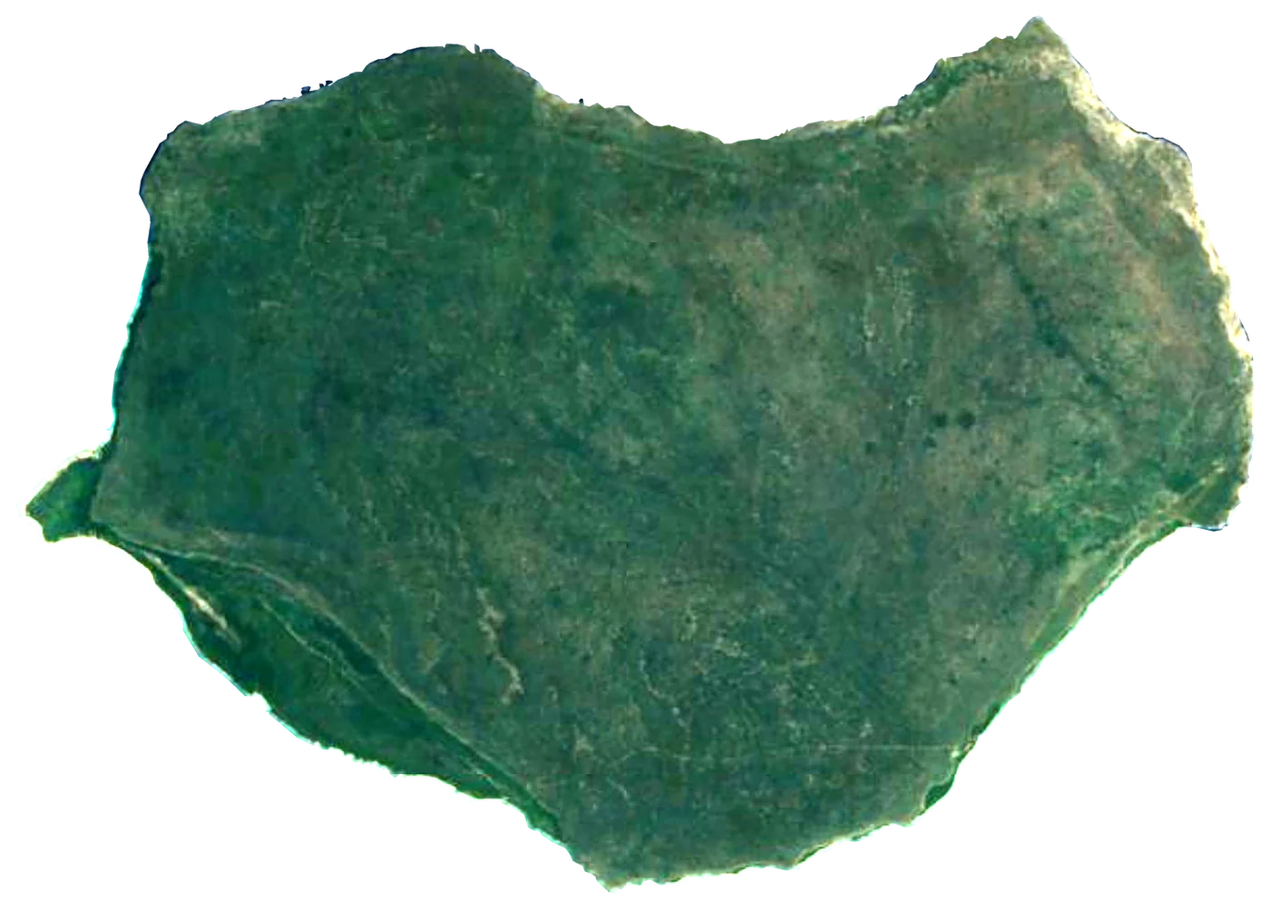 Isla de MonaUnited States55 km²95 m158 km away
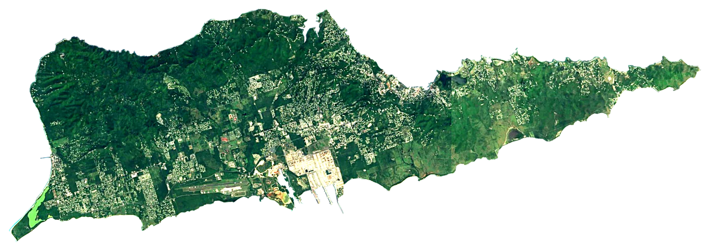 Saint CroixUnited States218 km²354 m182 km away
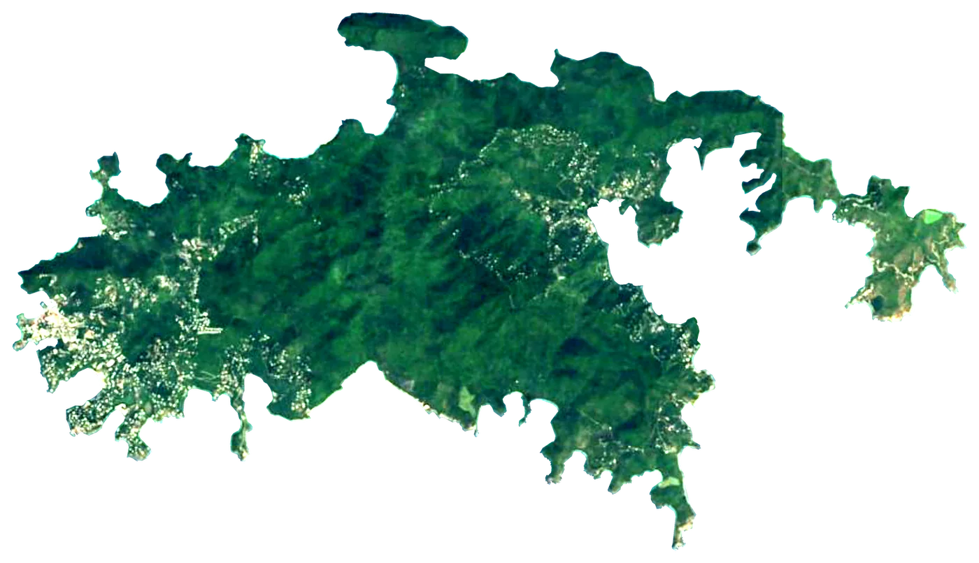 Saint JohnUnited States50 km²121 m175 km away
 Tortola
 United Kingdom57 km²523 m193 km away
 Jost Van DykeUnited Kingdom8.5 km²321 m178 km away
About these numbers
| Names, area, population | Wikidata (Q2076337) · CC0 |
|---|---|
| Outline | Natural Earth · public domain |
| Sea temperature | NOAA OISST v2.1 · 1991–2020 |
| Climate | NASA POWER · 1991–2020 |
| Relief, 3D model | Copernicus DEM GLO-30 · © DLR e.V., © Airbus Defence and Space GmbH, Copernicus/ESA |
| Beaches, ports, lighthouses, trails | © OpenStreetMap contributors · ODbL |
| Towns | GeoNames · CC BY 4.0 |
| Images | EOX Sentinel-2 cloudless 2016 · CC BY 4.0; Wikimedia Commons |
| Beaches, mountains, lakes and waterfalls | Coastya, Peakyas, Lakeyas — Wikidata · CC0; © OpenStreetMap contributors · ODbL; GeoNames · CC BY 4.0; NOAA OISST; HydroLAKES (Messager et al. 2016) · CC BY 4.0, LakeTEMP (Korver et al. 2024) · CC BY 4.0 |
Every figure is an average, an estimate or a count from a public dataset. Licences and methods: data sources.
The family
Do you prefer beaches, lakes, mountains, waterfalls, islands, rivers or canyons?
Same idea, other landscapes: field atlases built on open data, month by month, in seven languages.
beaches Find your beach: sea temperature, sun and swimming month by month.Visit lakes
 Every lake on Earth: water temperature, ice, depth and the shore.Coming soonVisit mountains
 Every summit in 3D: summit weather, the 0 °C line, huts and trails.Visit
  waterfalls
 Every waterfall: height, flow month by month and when it roars.Coming soonVisit
  islands
 Every island from the sea up: size, sea temperature, ferries and 3D.You are here
 rivers
 Every river from source to sea: the journey, the flow and the basin in numbers.Visit
  canyons
 Every canyon cut to scale: depth to the floor, rim and floor temperatures, trails and viewpoints.Visit