
 Chile / ArgentinaIsland
Isla Grande de Tierra del Fuego
47,992 km² rising to 2,488 m out of the Inútil Bay.
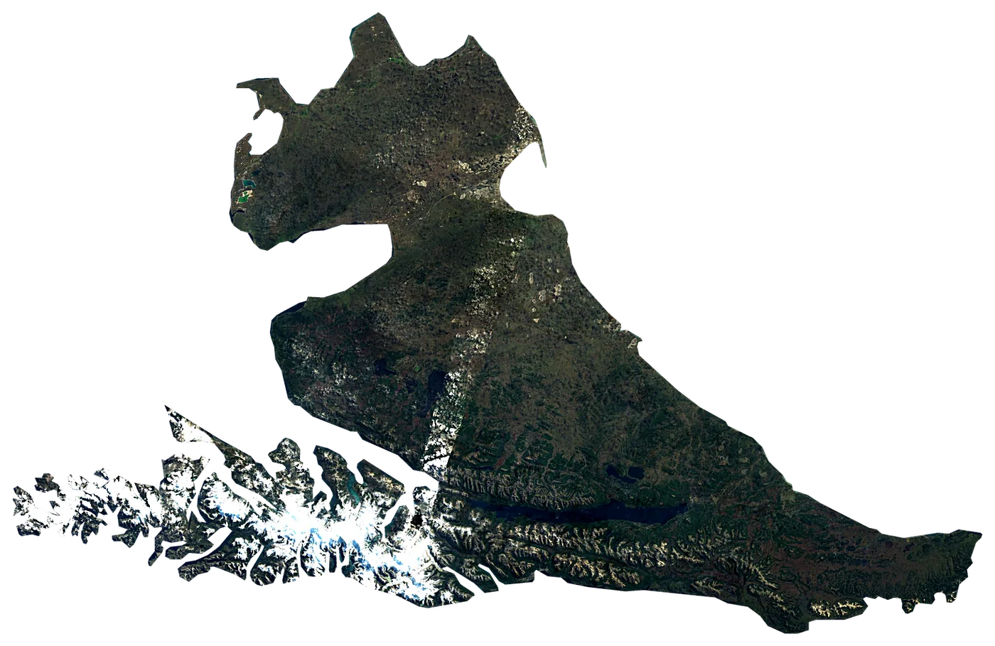
Satellite: Sentinel-2 cloudless 2016 by EOX (CC BY 4.0). Outline and points © OpenStreetMap contributors / Natural Earth. North up.
In numbers
47,992km²
Area
2,869km
Coastline
measured on a simplified outline
2,488m
Highest point
Monte Shipton
200,000
People
10°C
Warmest sea
February
9km
To the mainland
When to go to Isla Grande de Tierra del Fuego
Good all year round.
The sea is warmest in February (10 °C) and coolest in August (5 °C). The water never reaches 21 °C: bring a wetsuit.
Averages 1991–2020. Sea: NOAA OISST, the water within 35 km of the coast. Air, rain and sun: NASA POWER. Best months weigh warm afternoons (23–30 °C), sea of 24 °C or more and few wet days.
Island of Argentina and Chile
Isla Grande de Tierra del Fuego is an island in Chile. It covers 47,992 km², with 2,869 km of coastline. Its highest point, Monte Shipton, rises to 2,488 m. About 200,000 people live on it. The nearest mainland is 9 km away.
Getting there
- Gobernador Ramón Trejo Noel International Airport (RGA)airport on the island, with scheduled flightsCar hire at RGA airport (Rio Grande)Discover Cars · Affiliate link↗
- FerriesPoint Delgada Ferry Crossing, Ferry Punta Arenas - Porvenir, Yaghan Ferry (Punta Arenas - Yendegaia - Puerto Williams)
- 9 km from the mainlanddistance to the nearest continental coast
Plan the trip
Ferries, stays and things to do
Some links above are affiliate links: if you book through them we may earn a commission, at no extra cost to you. It never changes what the data on this page says.
On the island
What you find on Isla Grande de Tierra del Fuego.
- 24beachesBalneario Lainez, Puerto Vuelta, Playa Duquesa and 21 more
- 56viewpointsLago Roca, Cerro Mirador, Laguna de los Patos and 53 more
- 3lighthousesFaro Cabo Espíritu Santo, Faro Bahía Porvenir, Faro Magallanes
- 2ferry terminalsBahía Azul, Embarcadero Ferry Bahia Chilota
- 1marinasShimawaia club de kayak
- 286named peaksMonte Shipton, Monte Luna, Cerro Cresta Blanca and 283 more
- 9waterfallsSalto del Azul, Cascada Rio Pipo, La Macarena and 6 more
- 42ruins and archaeological sitesEl Páramo, Archeological Site Marazzi, Talud Tres Arroyos and 39 more
- 9waymarked walking routesSendero Laguna Esmeralda, Sendero Hito XXIV, Senda Costera and 6 more
- 55campsitesBush Camping, Camping Hain, Estancia Harberton - Camping Permit Office and 52 more
- 77hotels, guesthouses and apartments
- 59restaurants, cafés and bars
Counted in OpenStreetMap, the map anyone can edit, inside the island's outline. A low number may only mean nobody has mapped it yet.
Cross-checked with our atlases
Isla Grande de Tierra del Fuego in our other atlases
Everything Coastya, Peakyas, Lakeyas and Cascadyas know about what lies inside Isla Grande de Tierra del Fuego, each with its own numbers.
 18beaches and covesCoastya
 27lakesLakeyas
 1waterfallCascadyas
Tallest waterfall
6m
Waterfall Nahiara
according to Cascadyas
Largest lake
144km²
Lago Blanco
according to Lakeyas
Warmest lake
20.0°C
Laguna del Peñón
surface water, warmest month · according to Lakeyas
Beach with the warmest sea
10.8°C
Caleta Puerto Nuevo
sea in the warmest month · according to Coastya
18 beaches
on Coastya, the beach atlas
- Puerto Sacocove9.5°C
- Puerto Langloiscove9.5°C
- Puerto Kingcove9.5°C
- Puerto Imprevistocove9.5°C
- Caleta Brecknockcove9.4°C
- Caleta Esperanzacove10.5°C
- Caleta Chabelacove9.7°C
- Caleta Maríacove10.3°C
10 more on CoastyaOpen Coastya ↗
27 lakes
on Lakeyas, the lake atlas
- Lago Blanco144km²
- Lago Lynch50.9km²
- Lago Yehuin42.9km²
- Lago Cheepelmuth38.1km²
- Chico lake24.0km²
- Lago Verde16.6km²
- Lago Pomar11.0km²
- Lago Serrano7.8km²
19 more on LakeyasLakeyas is coming soonOpen Lakeyas ↗
1 waterfalls
on Cascadyas, the waterfall atlas
- Waterfall Nahiara6m
Cascadyas is coming soonOpen Cascadyas ↗
Size, for real
Next to islands you may know.
200 km
All outlines drawn to the same scale (Natural Earth and OpenStreetMap).
Towns on the island
- Ushuaia56,825 people
- Río Grande52,681 people
- Porvenir6,809 people
- Tolhuin3,000 people
- Cámeronno census figure
Month by month
The weather on the island.
| Jan | Feb | Mar | Apr | May | Jun | Jul | Aug | Sep | Oct | Nov | Dec | |
|---|---|---|---|---|---|---|---|---|---|---|---|---|
| Afternoon high (°C) | 13 | 13 | 11 | 8 | 6 | 3 | 3 | 4 | 6 | 8 | 10 | 12 |
| Night low (°C) | 6 | 6 | 5 | 3 | 2 | 0 | -1 | 0 | 1 | 2 | 4 | 6 |
| Sea (°C) | 9 | 10 | 10 | 9 | 8 | 6 | 6 | 5 | 5 | 6 | 7 | 8 |
| Rain (mm) | 65 | 58 | 71 | 65 | 59 | 54 | 51 | 51 | 43 | 40 | 50 | 55 |
| Wet days | 16 | 14 | 17 | 16 | 14 | 14 | 14 | 14 | 12 | 12 | 14 | 16 |
| Sun h/day | 9.0 | 8.2 | 6.2 | 4.8 | 3.2 | 2.3 | 2.7 | 4.3 | 6.1 | 8.1 | 9.2 | 9.6 |
| Wind (km/h) | 27 | 26 | 26 | 25 | 23 | 24 | 23 | 24 | 24 | 26 | 26 | 26 |
Averages 1991–2020 for the ~55 km NASA POWER cell over the island; the sea from NOAA OISST.
Recent years
Warmer and cooler years at sea.
Each month's sea temperature compared with its 1991–2020 average, in degrees.
| Jan | Feb | Mar | Apr | May | Jun | Jul | Aug | Sep | Oct | Nov | Dec | |
|---|---|---|---|---|---|---|---|---|---|---|---|---|
| 2020 | +0.8 | +0.9 | +0.7 | +0.8 | +0.7 | +0.6 | +0.3 | +0.1 | −0.1 | −0.1 | +0.3 | +0.2 |
| 2021 | +0.3 | +0.4 | +0.3 | +0.2 | +0.2 | +0.1 | +0.6 | +0.5 | +0.4 | +0.4 | +0.6 | +0.9 |
| 2022 | +0.7 | +0.6 | +0.1 | ±0.0 | −0.3 | −0.2 | −0.4 | −0.4 | ±0.0 | +0.6 | +1.0 | +0.8 |
| 2023 | +0.9 | +0.8 | −0.2 | −0.7 | −0.7 | −0.6 | −0.4 | −0.9 | −0.7 | −0.1 | −0.3 | +0.2 |
| 2024 | +0.4 | +0.6 | +0.1 | −0.2 | −0.9 | −1.0 | −0.8 | −0.4 | +0.3 | −0.4 | +0.8 | +0.8 |
| 2025 | +1.4 | +0.4 | +0.1 | −0.1 | −0.4 | −0.5 | −0.4 | −0.3 | +0.2 | +0.4 | +0.6 | +0.5 |
+1 warmer than usual −1 cooler than usual
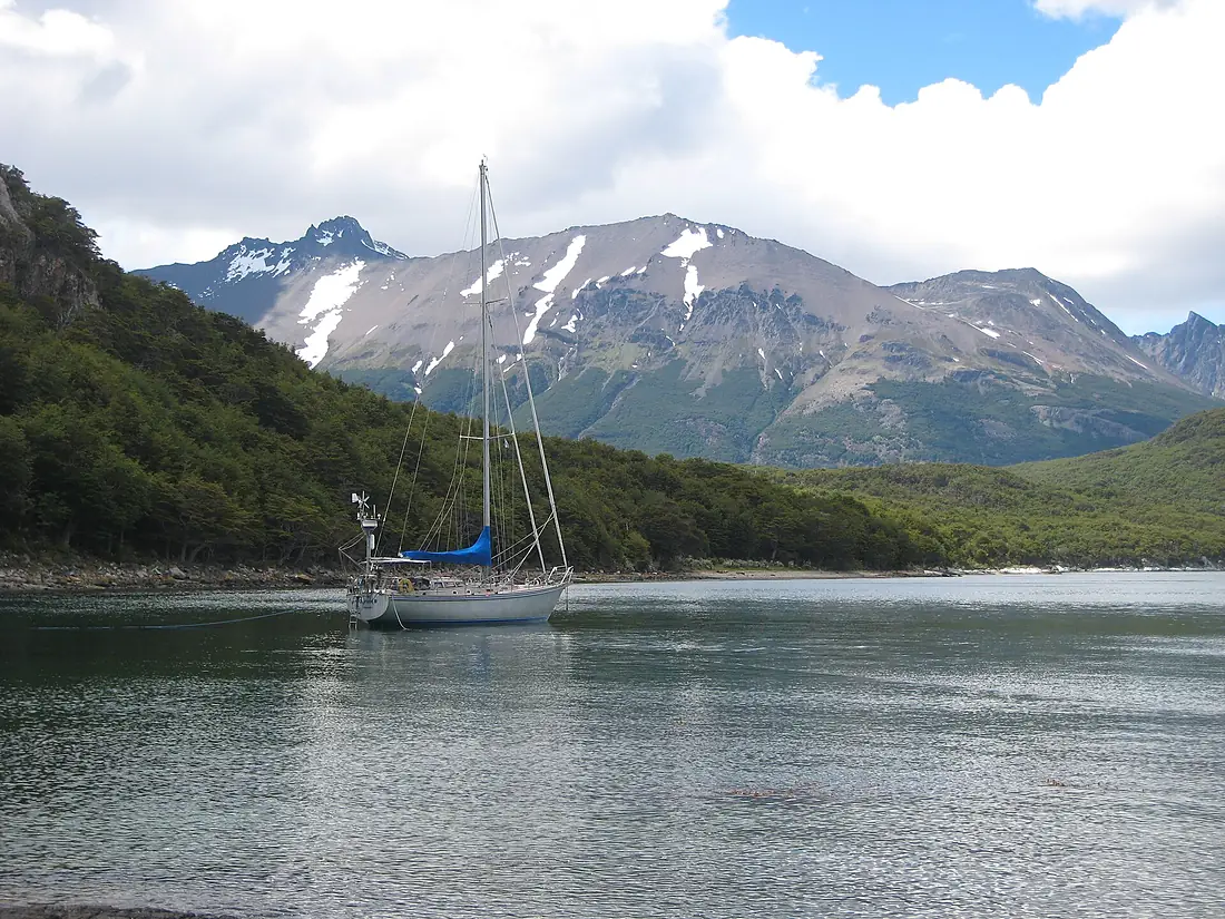
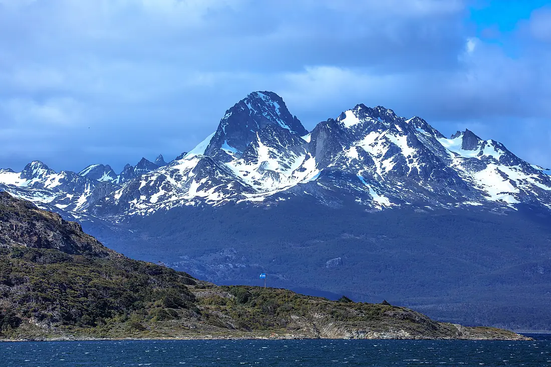
Photos
Seen by visitors.
Nearby
More islands nearby.
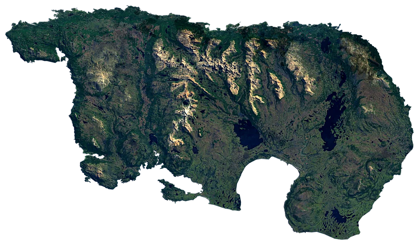 Navarino IslandChile2,512 km²947 m96 km away
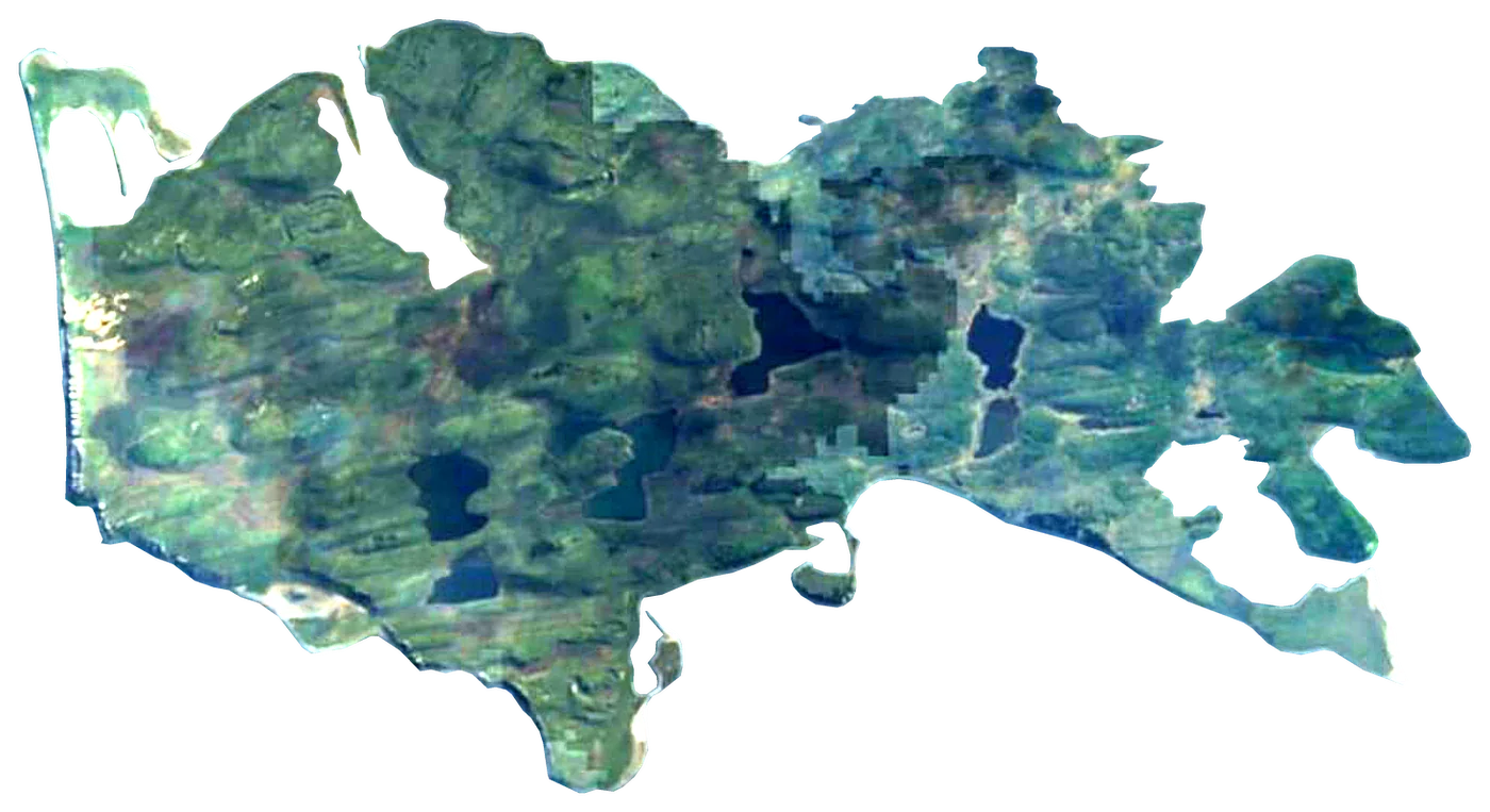 Gable IslandArgentina21 km²30 m75 km away
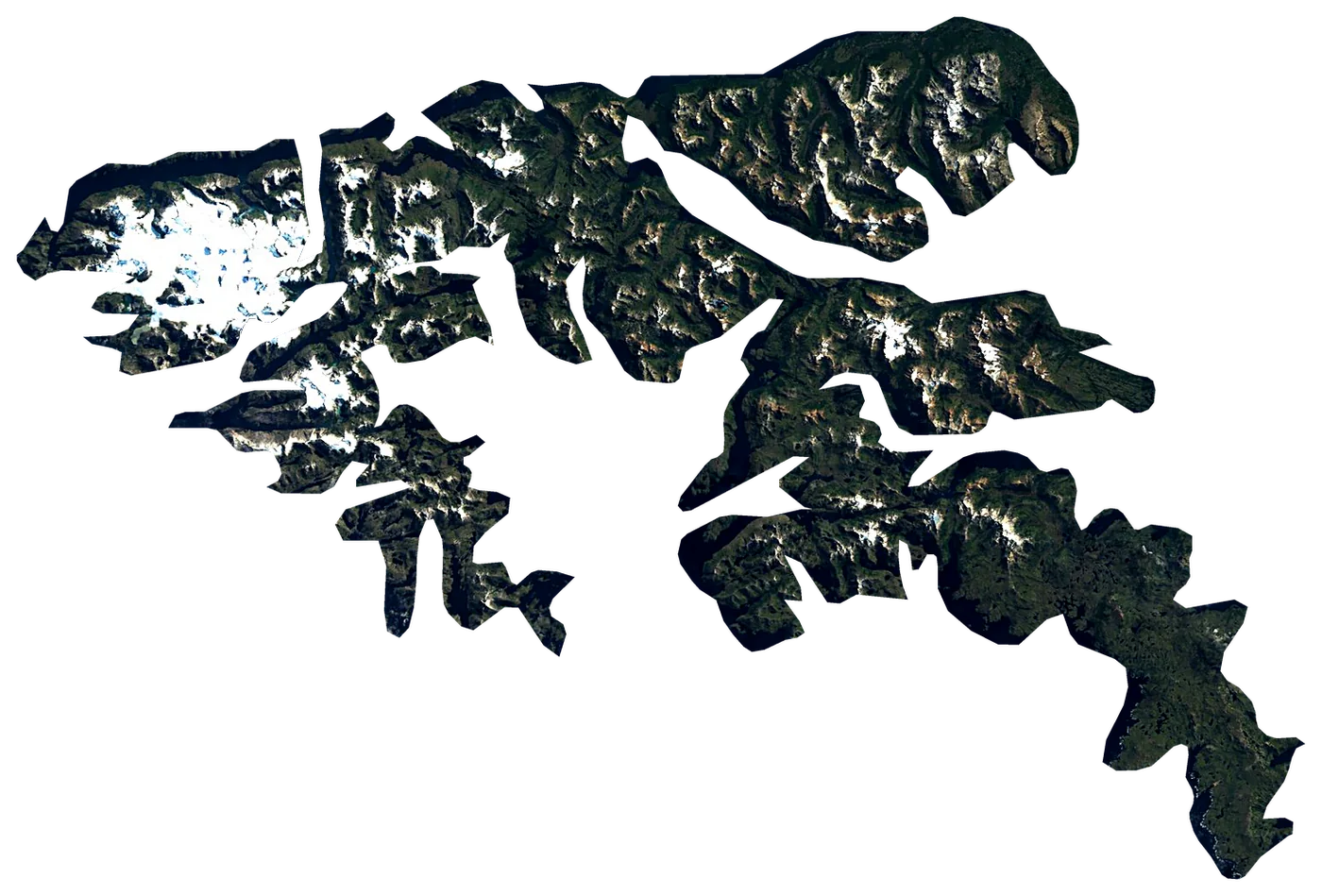 Hoste IslandChile4,117 km²1,402 m142 km away
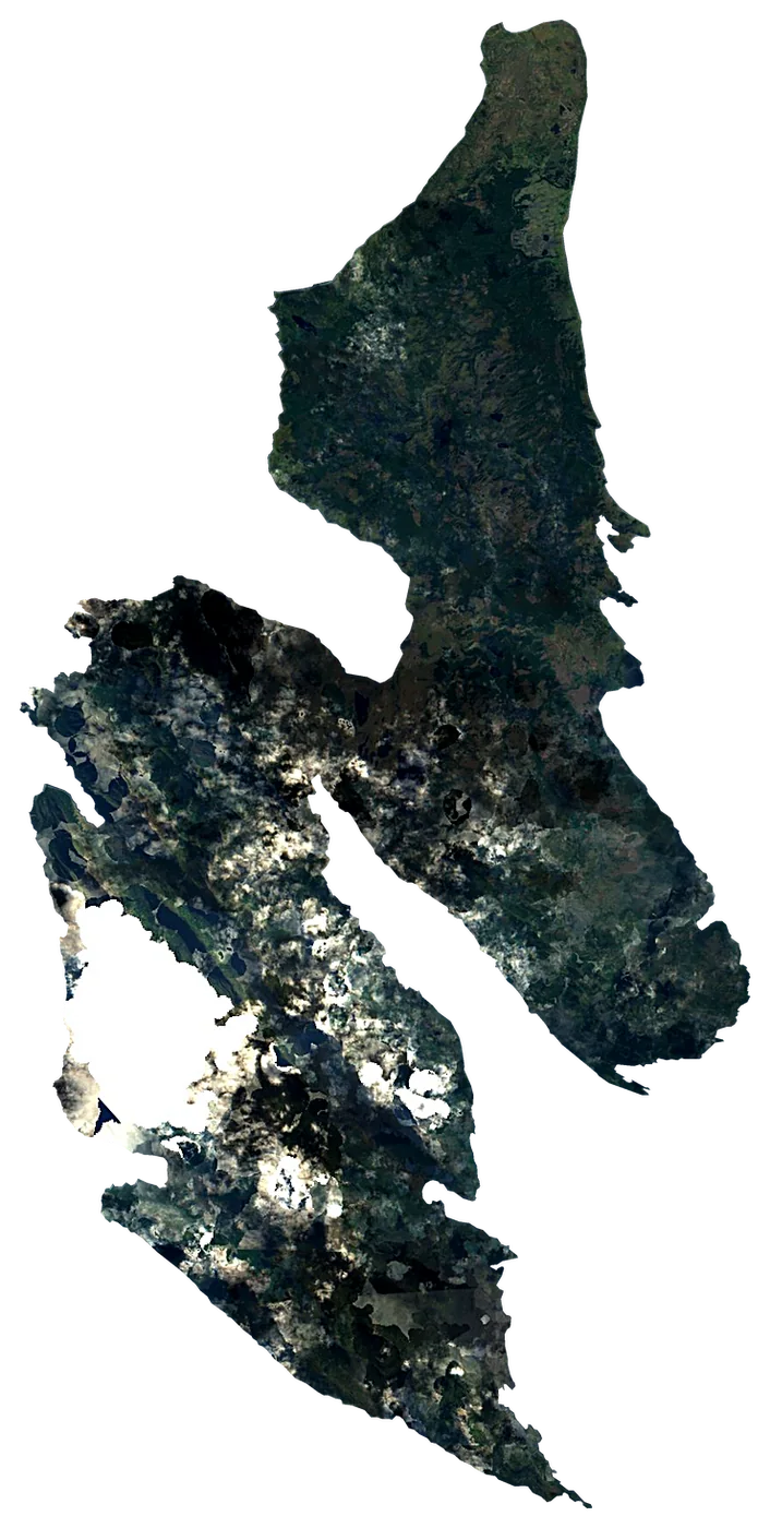 Dawson IslandChile1,339 km²86 m191 km away
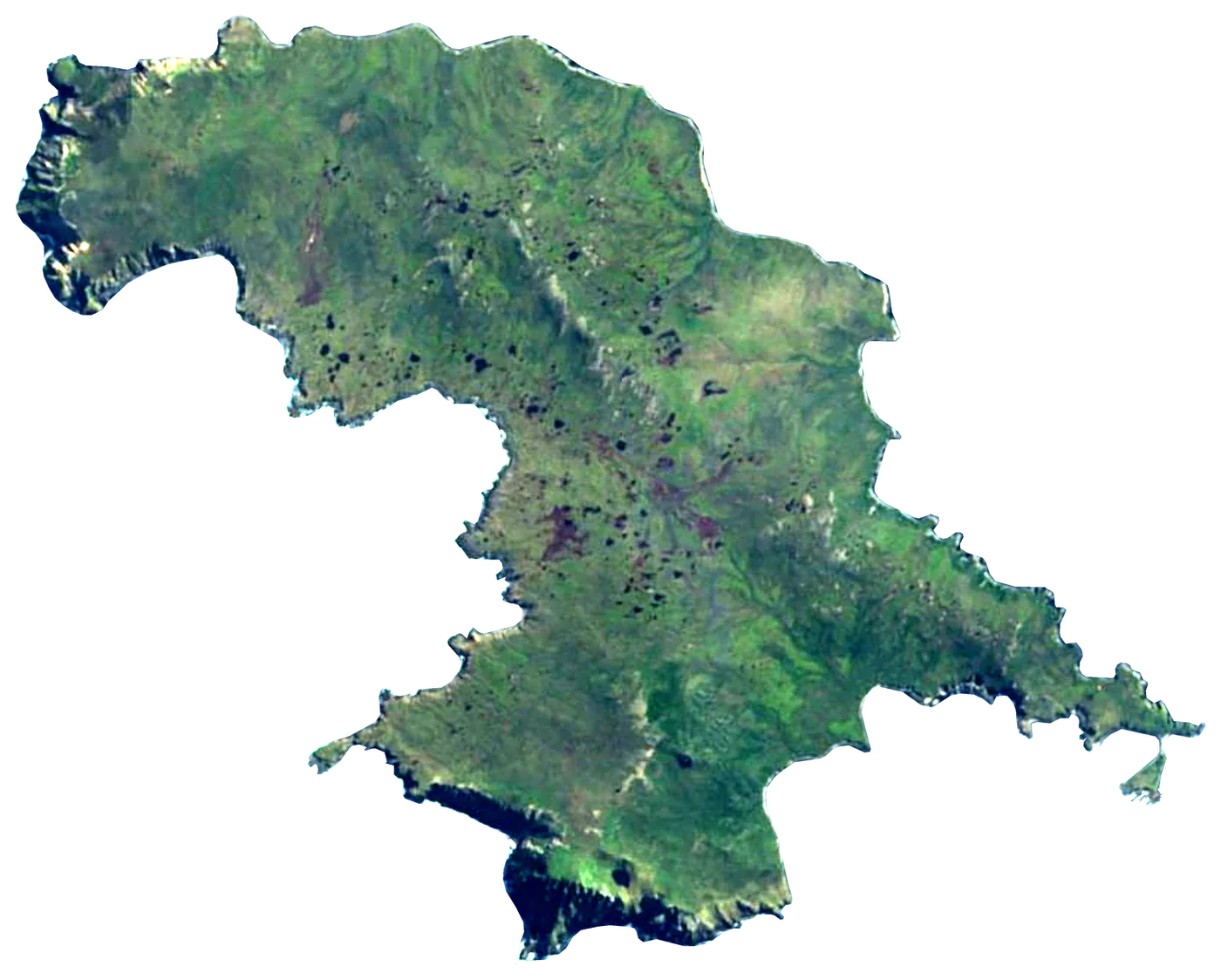 Hornos IslandChile25 km²63 m194 km away
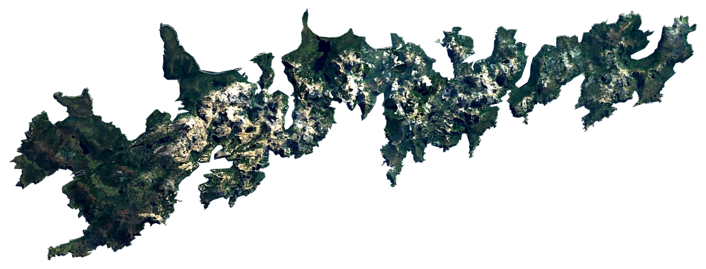 Isla de los EstadosArgentina493 km²94 m230 km away
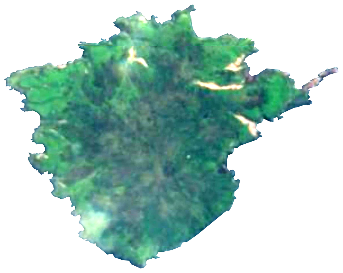 Isla ObservatorioArgentina4.2 km²45 m234 km away
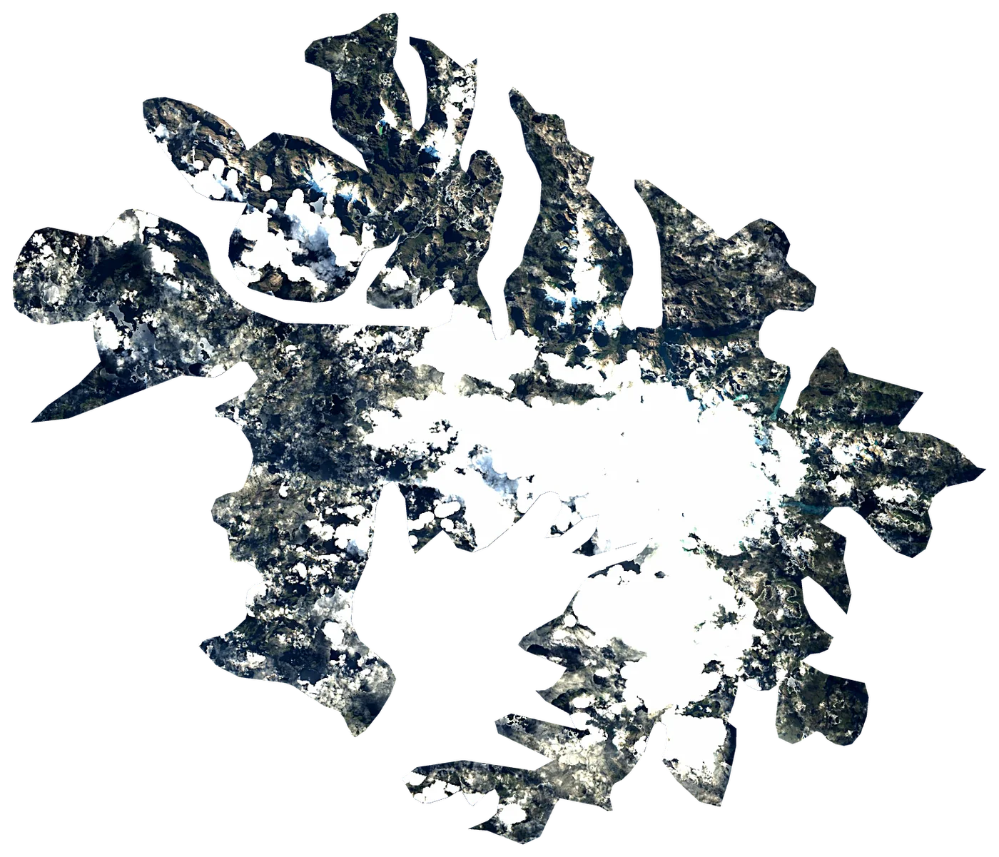 Santa Inés IslandChile3,688 km²561 m336 km away
About these numbers
| Names, area, population | Wikidata (Q1674067) · CC0 |
|---|---|
| Outline | Natural Earth · public domain |
| Sea temperature | NOAA OISST v2.1 · 1991–2020 |
| Climate | NASA POWER · 1991–2020 |
| Relief, 3D model | Copernicus DEM GLO-30 · © DLR e.V., © Airbus Defence and Space GmbH, Copernicus/ESA |
| Beaches, ports, lighthouses, trails | © OpenStreetMap contributors · ODbL |
| Towns | GeoNames · CC BY 4.0 |
| Images | EOX Sentinel-2 cloudless 2016 · CC BY 4.0; Wikimedia Commons |
| Beaches, mountains, lakes and waterfalls | Coastya, Lakeyas, Cascadyas — Wikidata · CC0; © OpenStreetMap contributors · ODbL; GeoNames · CC BY 4.0; NOAA OISST; HydroLAKES (Messager et al. 2016) · CC BY 4.0, LakeTEMP (Korver et al. 2024) · CC BY 4.0 |
Every figure is an average, an estimate or a count from a public dataset. Licences and methods: data sources.
The family
Do you prefer beaches, lakes, mountains, waterfalls, islands, rivers or canyons?
Same idea, other landscapes: field atlases built on open data, month by month, in seven languages.
beaches Find your beach: sea temperature, sun and swimming month by month.Visit lakes
 Every lake on Earth: water temperature, ice, depth and the shore.Coming soonVisit
  mountains
 Every summit in 3D: summit weather, the 0 °C line, huts and trails.Visit waterfalls
 Every waterfall: height, flow month by month and when it roars.Coming soonVisit
  islands
 Every island from the sea up: size, sea temperature, ferries and 3D.You are here
 rivers
 Every river from source to sea: the journey, the flow and the basin in numbers.Visit
  canyons
 Every canyon cut to scale: depth to the floor, rim and floor temperatures, trails and viewpoints.Coming soonVisit